Call 715-241-0947
Request A Quote
Write Us a Review

Land Surveying
Call to Schedule a Quote

Land Surveying Services

Land surveying plays an important role in the construction, real estate sales, and development process. At Vreeland Land Surveyors & Engineers, we have provided residential and commercial land surveying services since 1970. Our company is family-owned and operated. We are proud to be a trusted name for surveying services for two generations and counting.
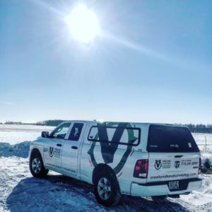
Maintenance truck from Vreeland Land Surveyors & Engineers | Land Survey Services in Weston, WI
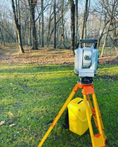
Land Surveying device used by Vreeland Land Surveyors & Engineers in Weston, WI
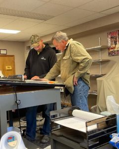
Dustin and Timothy from Vreeland Land Surveyors & Engineers
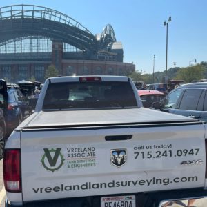
Back of a Vreeland Land Surveyors truck in Weston, WI

Serving Clients Across North Central Wisconsin

We are based in Weston, WI, and provide services to clients across North Central Wisconsin. Our team utilizes the latest technology and tools to ensure each client receives accurate, timely results. We are focused on providing cost-effective services centered around customer satisfaction. To remain at the forefront of our field, we participate in continuing education programs.

Land Survey in Weston, WI

Land Surveying Services

ALTA/ACSM Surveys

This type of survey is used for commercial properties. It includes the features of boundary and topographical surveys. It meets all standards and specifications set forth by the American Land Title Association.

Boundary Surveys

When conducting a boundary survey, we find and/or set the corners of an existing property parcel based upon its legal description. If requested, additional points may be set on the sidelines of the parcel.

Commercial & Residential Construction Staking

Similar to contractor staking, we place stakes indicating where sewer, curb, sidewalk, and other features are located.

Contractor Staking

Control stakes are placed to indicate sewer, water main, curb, sidewalk, roads, ditches, and other features for large projects such as shopping malls and industrial parks.

FEMA Elevation Certificates

Licensed surveyors complete the certificates (provided by FEMA). These certificates prove structures or land do not fall within the 100-year flood plain and indicate there is no need for flood insurance. Additionally, we fill out the necessary forms and gather copies of the required information so that you may apply for a Letter of Map Amendment (LOMA).

GPS Services

We use GPS receivers in real-time, which provide accurate horizontal and vertical control for mapping large parcels of land.

Mortgage Loan Inspections

This service — frequently used when selling a home — verifies the actual land boundaries match with the information registered on land deeds.

Site Plans

This is a combination of a boundary and topographical survey with design engineering, showing proposed improvements to the parcel of land.

Subdivisions

This is also known as a parcel split. This is a boundary survey of the larger parcel of land and each of the newly created smaller parcels. The local municipality must approve this type of survey and meet state and local guidelines.

Topographic Mapping

We map out the land parcel showing existing elevations, improvements, vegetation, utilities, and other physical features. This type of surveying is helpful for designing or planning.

Wetland Mapping

Used for environmental assessments, management plans, proposed construction buffers, and more, wetland mapping is different from other surveying. It often incorporates different colored flags denoting wetland boundaries.

To request a free estimate and learn more about our services, please contact us today at 715-241-0947.