
Civil Engineering
Request A Quote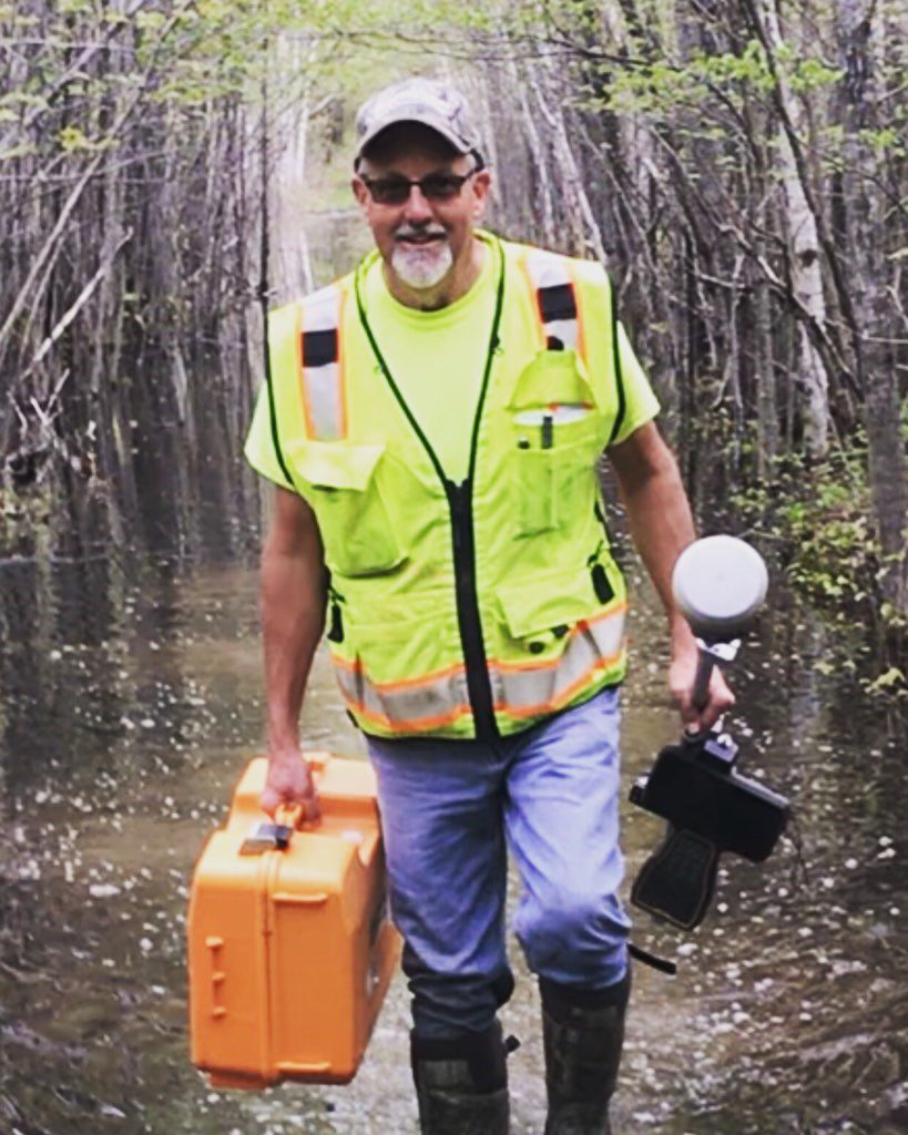
Civil Engineering
Vreeland Land Surveyors & Engineers is a family-owned and operated land surveying and civil engineering company based in Weston, WI. For two generations, we have offered clients across North Central Wisconsin the highest quality services and solutions. We offer a range of civil engineering services to complement our land surveying services and ensure your project is a success.
Construction Plans
We provide site design services for proposed development projects such as subdivisions, commercial and residential buildings, and industrial projects. Each drawing illustrates detail engineering and construction drawings of proposed improvement of a given lot.
This includes:
- Conceptual, Preliminary, & Final Plan <li?
- Development
- Existing, Demolition, Site, Grading, Erosion
- Control, Utility & Stormwater Plans
- Site Analysis & Feasibility
- Zoning and Agency Permitting
- Stormwater Management Plans
- Grading & Erosion Control Plans
- Cost Estimating
- Representation at Public Meetings
Subdivision Design
We work with developers to determine the viability of a development or subdivision plat. It is our goal to match sure the proposed project meets local and state government standards. Our team can also prepare design and construction plans. We also provide construction inspection with details as built on the subdivision.
This includes:
Road Construction Inspection
Inspection of road construction manages projects on-site and off-site during construction. Our team is extremely precise when observing construction processes ensuring that the project is built per plan and specifications. Construction monitoring services for the completion of utilities and street infrastructure improvements are based on plans and specifications.
This includes:
- Conduct a pre-construction meeting
- Monitor, on a daily, full-time basis, the contractor’s pipe laying, pipe trench backfilling, pipe trench compaction, and performance testing activities
- Monitor, as needed, the contractor’s road-building activities
- Coordinating with subcontractors as needed for soil proctor, compaction tests, and/or concrete testing
- Record daily notes on construction activities
- Provide measurements of buried facilities and prepare as-built construction drawings
- Provide written reports and photographs summarizing the construction activities
Floodplain Analysis
The Wisconsin Department of Natural Resources (DNR) requires elevation determination for a project planning to build or plat in a floodplain or next to a navigable waterway. A Letter of Map Amendments or Letter of Map change is an official document which establishes the properties location in relation to the floodplain and requests to remove a portion or structure from FEMA’s floodplain. We will also work with you to establish elevation certificates for the property. This lowers the cost of floodplain insurance on a structure located within a floodplain.
Choose Vreeland for:
- Floodplain Mapping
- Letter of Map Amendments (LOMA)
- Letter of Map Change (LOMC)
- Hydrologic and Hydraulic Modeling
- Floodplain Encroachment Studies
- Floodplain and Shoreland Permitting
Erosion Control and Stormwater Plans
We can provide detailed erosion control plans for local government requirements and state requirements.
Our stormwater management plans are developed to meet the standards set by the Wisconsin Department of Natural Resources and local governments. These plans are created for proposed developments of one acre or move of disturbance.
Count on us for:
To learn more about our services or to request a free estimate please contact us today at 715-241-0947.
Vreeland Land Surveyors & Engineers
Hours
Monday - Friday
7:00 am - 5:00 pm